


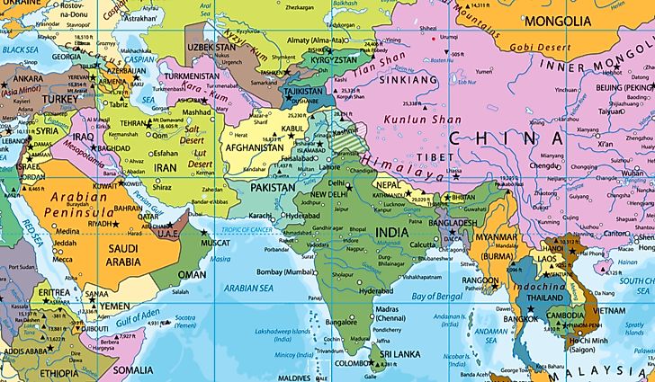
A Middle East map provides a visual representation of one of the world’s most historically and geopolitically significant regions. The Middle East is located at the crossroads of Asia, Africa, and Europe, making it a strategic hub for trade, culture, and global politics. Maps of this region help people understand its countries, borders, major cities, and important geographical features.
In this article, we explore what the Middle East map shows, the countries included in the region, and why the area is so important globally.
What Is the Middle East?
The Middle East refers to a region that includes parts of Western Asia and sometimes North Africa. Although the exact boundaries may vary depending on the source, it generally includes countries that share historical, cultural, and political connections.
Maps of the Middle East typically highlight the location of each country along with important seas, deserts, and rivers.
Countries Shown on a Middle East Map
A typical Middle East map includes several key countries. Some of the most commonly recognized countries in the region are:
- Saudi Arabia
- United Arab Emirates
- Qatar
- Kuwait
- Bahrain
- Oman
- Yemen
- Iran
- Iraq
- Jordan
- Lebanon
- Syria
- Turkey
Some maps also include nearby countries like Egypt because of its cultural and political connections to the region.
Major Geographic Features on a Middle East Map
Maps of the Middle East often highlight several important natural landmarks and bodies of water.
Major Seas and Waterways
- Persian Gulf
- Red Sea
- Mediterranean Sea
- Arabian Sea
These waterways are crucial for global shipping, trade routes, and oil transportation.
Important Rivers
Two of the most famous rivers in the region are:
- Tigris River
- Euphrates River
These rivers supported some of the earliest civilizations in human history.
Deserts
The Middle East is also known for its large deserts, including the vast Arabian Desert, which covers much of the Arabian Peninsula.
Historical Importance of the Middle East
The Middle East has been the center of many ancient civilizations. It is often called the “cradle of civilization” because early societies developed in this region thousands of years ago.
Ancient empires, trade routes, and cultural exchanges all shaped the development of the Middle East. Many major religions, including Islam, Christianity, and Judaism, have historical roots in this region.
Why Middle East Maps Are Important
A Middle East map is important for several reasons:
Understanding Geography
It helps people identify countries, borders, and major geographic features.
Political Awareness
The region plays a major role in global politics and international relations.
Economic Importance
Many countries in the Middle East are major producers of oil and natural gas, making the region essential to the global economy.
Cultural and Historical Knowledge
Maps help illustrate the locations of ancient civilizations and historical landmarks.
Conclusion
A Middle East map provides valuable insight into one of the most influential regions in the world. By showing the countries, waterways, deserts, and cities within the Middle East, maps help people better understand its geography, history, and global importance.
From ancient civilizations to modern economic powerhouses, the Middle East continues to shape world history, and maps remain an essential tool for exploring this fascinating region.


